Building date: 1840, Demolished?
Original use:
Corner structures:
Mortar application and content:
Types and uses of stones:
Types and choice of windows:
Structures with similar masonry details:
Masons who worked on building:
Unique features:
Map views courtesy Google Maps. Address is Google Earth confirmed; 42°27'15.10"N 73°12'24.25"W. Current owner of record, V's LLC as of the 2019 Tax Roll.
City of Pittsfield and Berkshire County Maps.
Editor's Note: Contradiction noted: Martin and Sheila Wolfish collection, and the MCRIS information state the address as 1643, whereas the environmental impact study below states 1641.
Amasa Rice House, courtesy MACRIS, Massachusetts Cultural Resource Information System, PDF 5 pages.
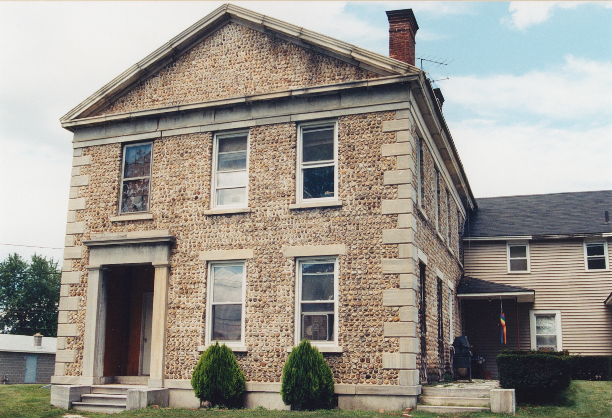
The alignment of the proposed connector runs within 150' of a Neo-Classic style house built of cobblestones and marble, probably in the 1830's (11E). This house is unique in Pittsfield and is very similar to the early 19th Century cobblestone houses of central New York state. It is located at 1641 East Street, just south of Adams Junction, and is owned by D. M. Co., Inc., Real Estate. Potential impacts would include increased traffic noise and aesthetic impacts. The eligibility of this house for the National Register is also undetermined. Excerpt courtesy Google Books, Draft Environmental Impact Statement, Route 7, Lenox, Pittsfield & Lanesborough, Ma., May 7, 1982
Amasa Rice House, 1641 East St., Pittsfield, Berkshire County, was built about 1840 on the site of Fort Anson, constructed by Col. William Williams in 1754 for the defense of his extensive land holdings. Rice was a prosperous farmer and was among the founders of the Housatonic Engine Company in 1844. It sat near the East Branch of the Housatonic River in an area known as "The Junction." It has been demolished. Richard Palmer blog.
 Ber-1 1643 East St 1.jpg ¹ | 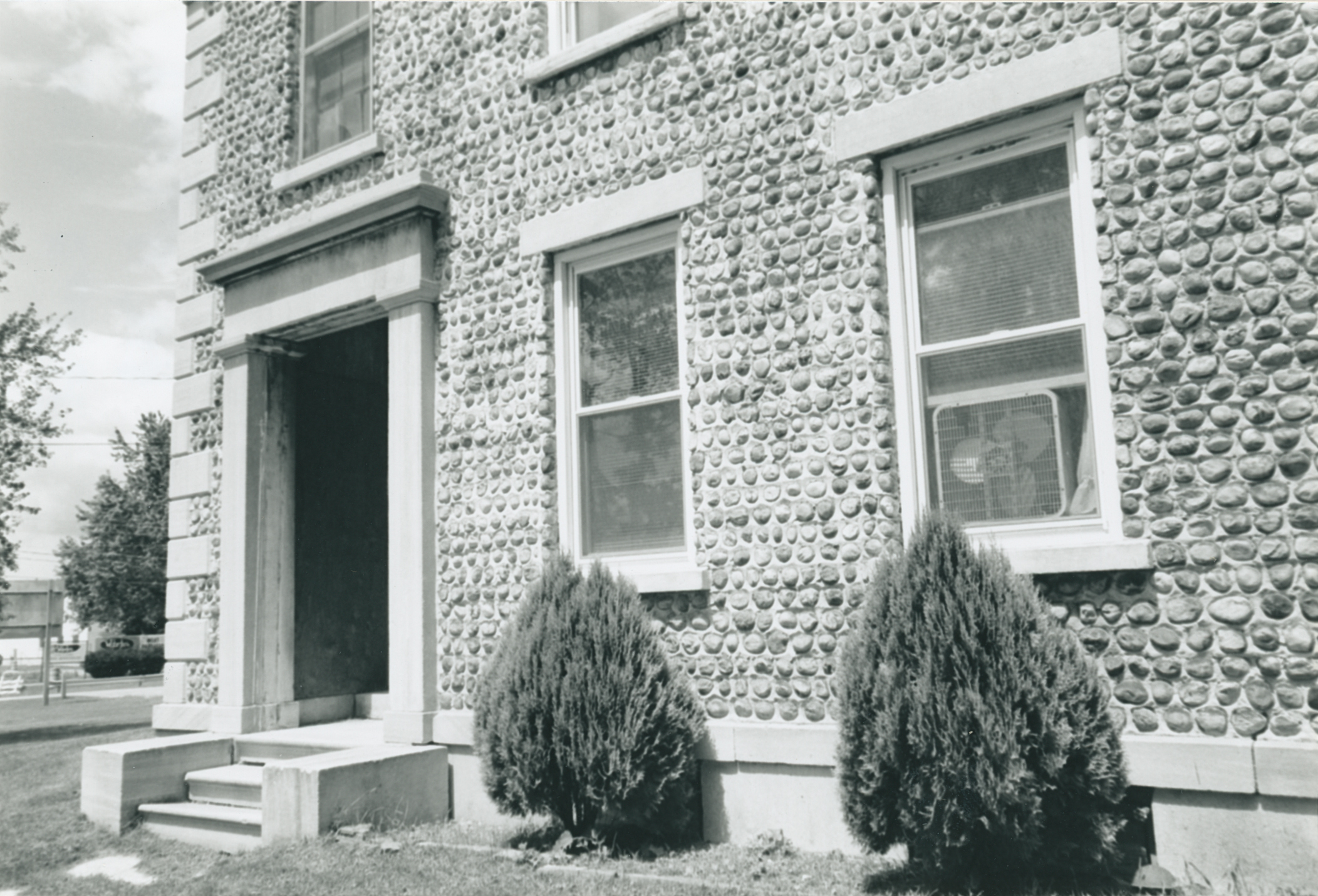 Ber-1 1643 East St 2.jpg ¹ | 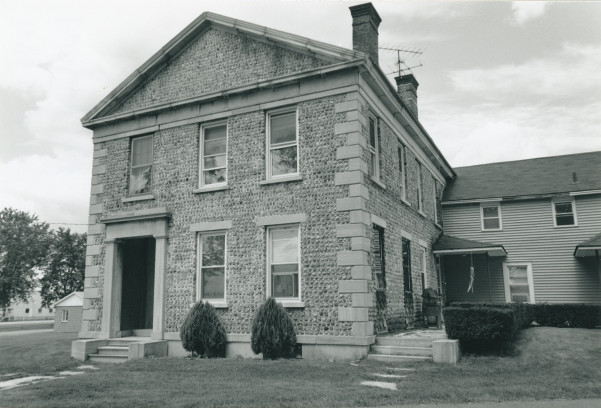 Ber-1 1643 East St 3.jpg ¹ | 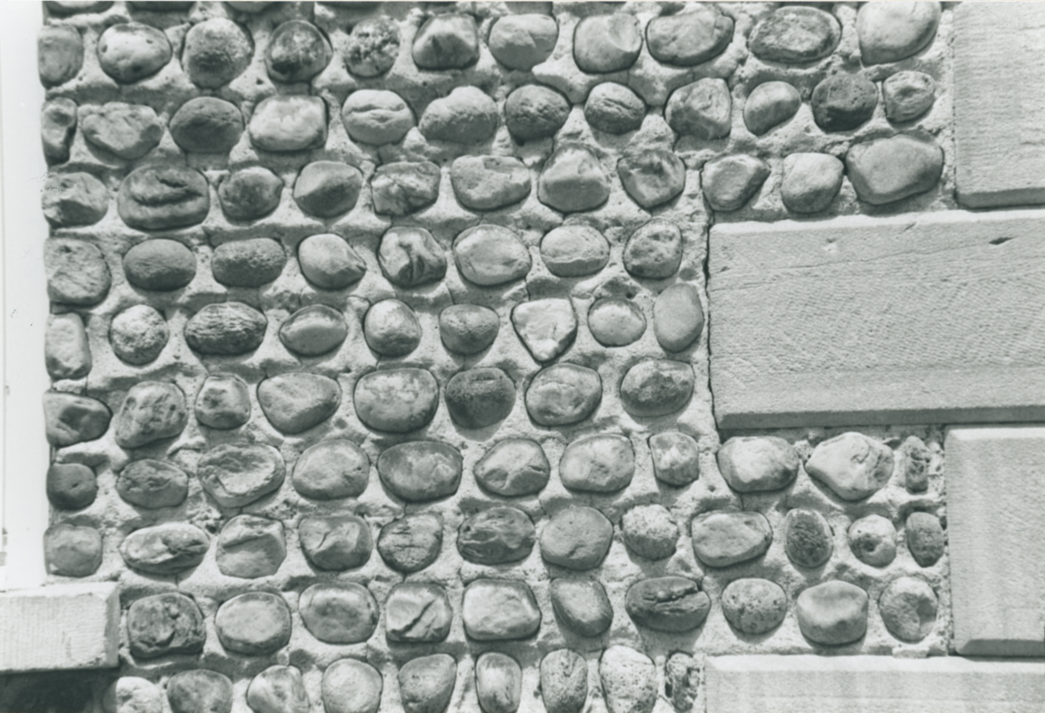 Ber-1 1643 East St 4.jpg ¹ |
¹ Photography courtesy Martin and Sheila Wolfish.
